
RELIEF PRINTS
CENTRAL OREGON GEOLOGY
Mount Jefferson #1, 2025, lithocut print, 4×6”
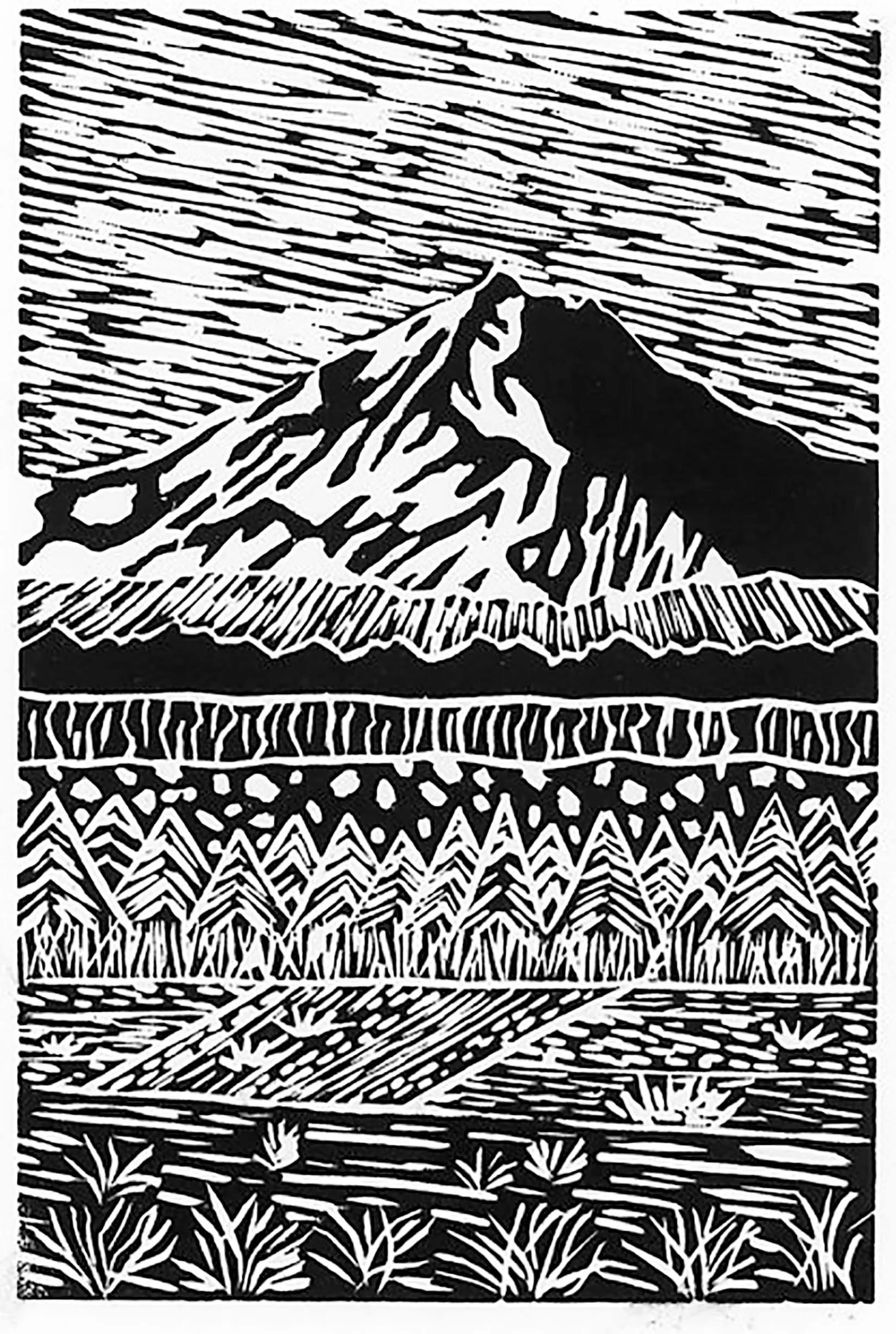
Mount Jefferson is the second highest Peak in Oregon at 10,495’ (Mt. Hood= 11,249) and was named for Thomas Jefferson on the return trip of the Lewis & Clark expedition. It was originally called Seekseekqua by the indigenous people of the region. The mountain is a conical, steep-sided stratovolcano that has been highly glaciated on its upper reaches. The stratovolcano was formed 730,000 years ago and it has a complex eruptive history. composition of the flows has been summarized as basaltic andesite, andesite, and dacite. The early history of the mountain may have been as a shield volcano. The last explosive eruption was approximately 15,000 years ago and the most recent flows (basaltic) were 1000 years ago (from associated volcanic features) and flowed west into Marion Lake.
This image represents the view on the way to Smith Rock State Park from Terrebonne at the corner of NE Smith Rock Way and NE 17th Street. This zoomed in view shows the snow-covered peak of Mount Jefferson, the basalt lava flow in the midground (the two layers above the pine trees – it is from the Newberry shield volcano), and farm fields in the foreground.
The volcano is still active, yet it is considered a LOW threat of eruption by the U.S. Geological Survey. Although not a current threat for a major eruption, some scientists believe there is a risk of major mudflows on the mountain.
Tumalo Falls #1, 2026, lithocut print, 4×6”
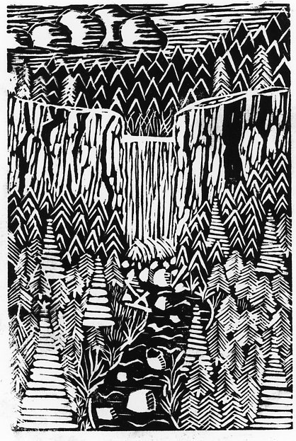
Tumalo Falls is a waterfall located at the head of Tumalo Creek. The waterfall is 89 feet high (based on 2010 measurement) and plunges over a thick and erosion resistant cliff of basaltic andesite onto more easily erodible glacial till below. The lava flow that created the basaltic andesite cliff erupted from the High Cascades and is up to a couple of million years old (Pleistocene).
Tumalo Creek canyon is a classic U-shaped valley indicative of past glacial erosion. Based on the topographic map, the glacier filled the canyon and reached all the way to Bend (one of the only areas a glacier flowed past the main mountain front in the Bend-Redmond area). The classic U-shape is difficult to see when you are in the canyon but can be seen at a distance, at the Central Oregon Community College campus (try the base of the Pence Building).
The upper reaches of Tumalo Creek and Bridge Creek provide approximately 60% of the annual water supply for the city of Bend, OR. (gravity fed to treatment facilities). Tumalo Creek flows to the E-NE, through Shevlin Park and then empties into the Deschutes River between Sawyer Park and Tumalo State Park.
Tumalo Falls is located about 10 miles West of Bend, OR and can be reached by driving West on Galveston Avenue all the way until the end of the road (the road turns into Skyline Drive west of 14th Street). There are a well-maintained parking lot and restroom at the end of the road, and there are awesome views adjacent to the parking lot (no hiking required). Hiking above the waterfall is excellent and you can view several more waterfalls – there are less crowds here too.
Note: Tumalo Falls is a common tourist destination so it may be crowded but many times is full unless you arrive early or in the off season. In winter, the road to the waterfall is closed, but the road makes a popular cross-country skiing or snowshoe outing.
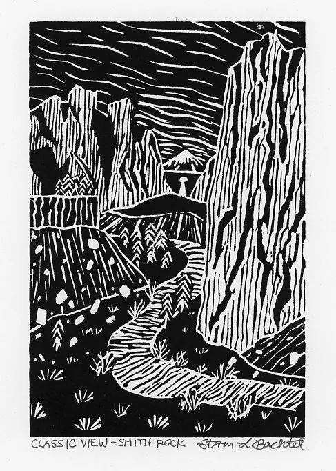
Smith Rock Classic View #1, 2026, lithocut print, 4×6”
Tumalo Falls is a waterfall located at the head of Tumalo Creek. The waterfall is 89 feet high (based on 2010 measurement) and plunges over a thick and erosion resistant cliff of basaltic andesite onto more easily erodible glacial till below. The lava flow that created the basaltic andesite cliff erupted from the High Cascades and is up to a couple of million years old (Pleistocene).
Tumalo Creek canyon is a classic U-shaped valley indicative of past glacial erosion. Based on the topographic map, the glacier filled the canyon and reached all the way to Bend (one of the only areas a glacier flowed past the main mountain front in the Bend-Remond area). The classic U-shape is difficult to see when you are in the canyon but can be seen at a distance, at the Central Oregon Community College campus (try the base of the Pence Building).
The upper reaches of Tumalo Creek and Bridge Creek provide approximately 60% of the annual water supply for the city of Bend, OR. (gravity fed to treatment facilities). Tumalo Creek flows to the E-NE, through Shevlin Park and then empties into the Deschutes River between Sawyer Park and Tumalo State Park.
Tumalo Falls is located about 10 miles West of Bend, OR and can be reached by driving West on Galveston Avenue all the way until the end of the road (the road turns into Skyline Drive west of 14th Street). There are a well-maintained parking lot and restroom at the end of the road, and there are awesome views adjacent to the parking lot (no hiking required). Hiking above the waterfall is excellent and you can view several more waterfalls – there are less crowds here too.
Note: Tumalo Falls is a common tourist destination so it may be crowded but many times is full unless you arrive early or in the off season. In winter, the road to the waterfall is closed, but the road makes a popular cross-country skiing or snowshoe outing.
Monkey Face #1, 2026, lithocut print, 4×6”
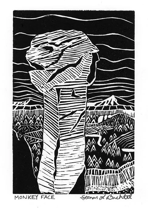
Monkey Face, at Smith Rock State Park is an 350-foot erosional rock spire that resembles the head of a monkey when viewed from the right angles. It can be seen, up close on the Misery Ridge trail, here you can sit and enjoy the Cascade views and see climbers ascend the primate-shaped spire. Monkey Face can also be viewed from a moderate distance on the River Trail (to the West), or from a long distance on Highway 97 (can you find it??).
The spire was formed by erosion and consists of volcanic tuff the exploded from the Crooked River Caldera approximately 29-34 million years ago. These are some of the oldest rocks in the Central Oregon region. Monkey Face is comprised of less erodible Welded Tuff in the upper 1/3 of the spire (basically the head and shoulders of the Monkey Face - it is reddish in color). The lower part of the spire, which is more erodible, contains unwelded tuff and is tan in color.
Monkey Face and the cliffs of Smith Rock State Park are a haven for rock climbers. Monkey Face was first ascended in 1960, by Vivian Staender, Jim Fraser, and Dave Bohn via the Pioneer Route. The gap between the main cliff and the Monkey's Mouth is a world-famous spot for highlining (tightrope walking at extreme heights).
FOSSILS
Go With The Flow, 2024, 8×10”, lithocut print & colored pencil,
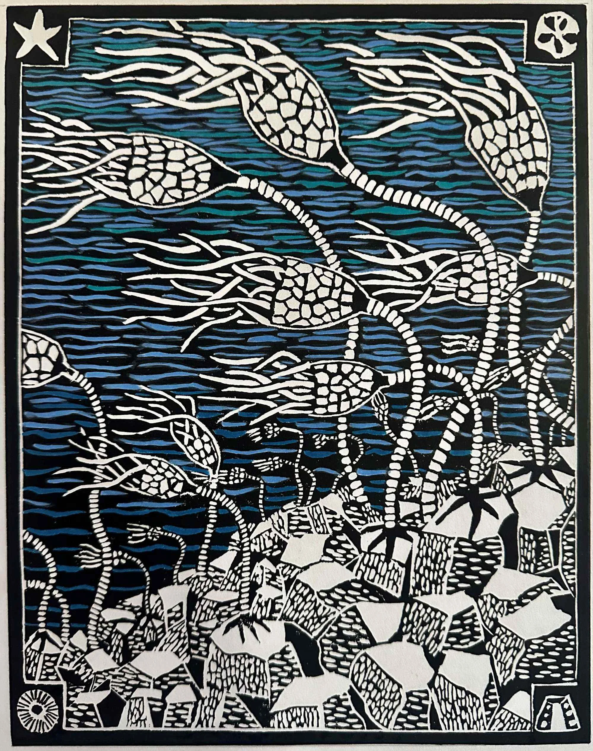
Crinoids are common fossils in the rock record (since the Cambrian Period) and they are still alive today. They were (are) marine organisms and relatives of the starfish, sea urchins, and sand dollars (Phylum = Echinodermata). As seen in this print, many ancient crinoids lived in high-energy environments, probably around wave base and just below. They lived in thickets and swayed in the current to collect food and nutrients. Modern crinoids actually prefer deeper ocean waters with much lower energy.
Crinoids consist of a series of calcium carbonate plates that are held
Under the Scope, 2025, 8×10”, lithocut print & colored pencil,

Foraminifera
Axial Fusi Roundup, 2025, 8×10”, lithocut print & colored pencil,

Fusilinids are a type of Foraminifera (single-celled organasim) that secretes an internally coiled shell shaped like a football (an ‘American’ football).